*Alberta Regions
*Mapping Skills
*Provinces and Capital Cities
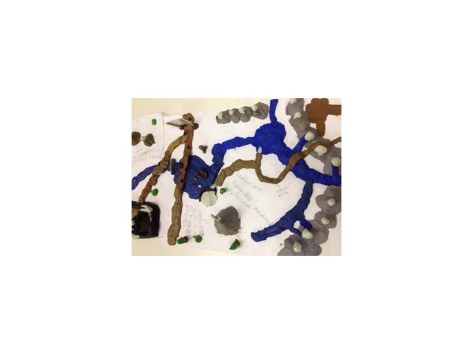
*Major Bodies of Water
*Capital Cities and Major River Systems
*George M. Dawson
*Land development
*Emblems and Symbols of Alberta
*Alpine Region of Alberta
*Western Corderilla
*Governmental Systems
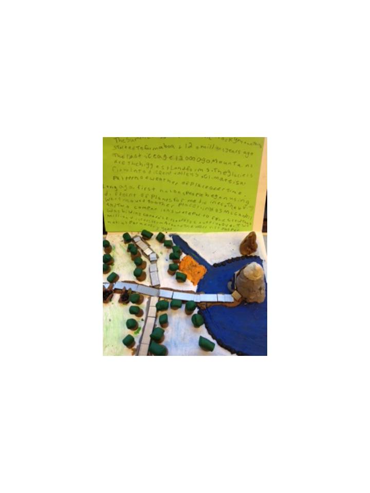
*Columbia Icefields
*Bow Glacier
*Athabasca Glacier
*The Great Divide
*Foothills Characteristics
*Rocky Mountains Characteristics
*Galt Museum "Race for Resources"
*Puffed Art (Land Regions and Alberta Industries)
*The People of Alberta (Past vs. Present)
*The Land of Alberta (Past vs. Present)
*Alberta in the Past
*National Parks (Jasper, Waterton, Elk Island, Banff etc.)
*Irrigation
*Importance of Soil in the Grassland Region
*Annual Park Passes
*Alberta Stamp
*Rocky Mountain Brochure
*Travel Brochure (Foothills)
*Question and Answer Poster
*Venn-Diagram (Differences and Similarities)
*Color by Number Scenes (Legends)
*Natural Resources (Mapping Skills)
*Tipis
*Buffalo Wheels
*Flip Books
*Flap Books
All about Rivers is a project set-up by Ellis a grade 4 student at MMH. Ellis has a friend named Charlie. Charlie attends a school in England called Wheatfield Primary. Charlie is looking for information about Rivers. Ellis has created links below for Charlie to access.
Alberta: History of the Badlands


Alberta: Rocky Mountain Region


